Height of Antarctica
Antarctica is the highest continent on Earth: average elevation is 8,200ft (2500m). The elevation at the South Pole is 9,300ft (2835m). The highest point on the icecap is in Australian Antarctic Territory at 13,451ft (4100m), at 82° 20'S, 56° 30'E. Mount Vinson is the highest mountain in Antarctica at 16,050ft (4892m).
The South Pole is located on the Antarctic Polar Plateau. The average elevation of the Polar Plateau is 9,800ft, and the ice is about 9,000 feet thick at the South Pole. The South Pole Epic will start at the edge of the Antarctic continent and travel to the South Pole. That means we will start near sea level and be at 9,300 feet at the pole. So in general we will be biking uphill with a headwind (see post on katabatic winds).
About 98% of Antarctica is covered by the Antarctic ice sheet, a sheet of ice averaging at least 1.0 mile (1.6 km) thick. The continent has about 90% of the world's ice (and thereby about 70% of the world's fresh water). If all of this ice were to melt, sea levels would rise about 200 ft (60m). The weight of the thick ice sheet has pushed the land down so far that if it were removed, the land would rebound nearly 2,000 feet.
Antarctica is the highest continent on Earth: average elevation is 8,200ft (2500m). The elevation at the South Pole is 9,300ft (2835m). The highest point on the icecap is in Australian Antarctic Territory at 13,451ft (4100m), at 82° 20'S, 56° 30'E. Mount Vinson is the highest mountain in Antarctica at 16,050ft (4892m).
The South Pole is located on the Antarctic Polar Plateau. The average elevation of the Polar Plateau is 9,800ft, and the ice is about 9,000 feet thick at the South Pole. The South Pole Epic will start at the edge of the Antarctic continent and travel to the South Pole. That means we will start near sea level and be at 9,300 feet at the pole. So in general we will be biking uphill with a headwind (see post on katabatic winds).
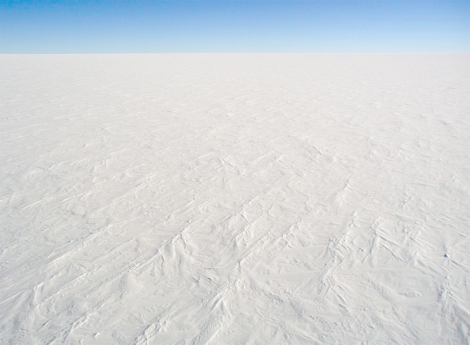 |
| View of the Polar Plateau |
About 98% of Antarctica is covered by the Antarctic ice sheet, a sheet of ice averaging at least 1.0 mile (1.6 km) thick. The continent has about 90% of the world's ice (and thereby about 70% of the world's fresh water). If all of this ice were to melt, sea levels would rise about 200 ft (60m). The weight of the thick ice sheet has pushed the land down so far that if it were removed, the land would rebound nearly 2,000 feet.
No comments:
Post a Comment