The South Pole Epic was mentioned in the Bike Snob NYC blog. In his blog he talks about the South Pole being at the bottom of the world in unflattering terms. But why is the South Pole at the bottom of globes and maps?

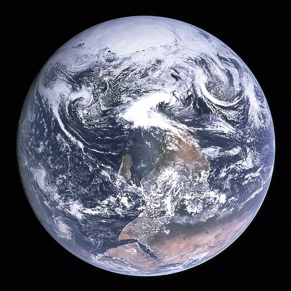 |
| The world with Antarctica at the top of the world |
East is Up
By convention maps are made with north at the top. But this wasn't always the case. In the middle ages east was often at the top of the map. The sun rises in the east so it made sense to put east at the top.
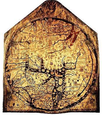 |
| Hereford Mappa Mundi, a map with east at top |
West is Up
For some reason when I would draw maps for streets in Utah I would often end up with west at the top of the map. This would confuse people, so I try and remember to draw maps with north at the top, but my mind thinks of the local area with west at the top.North is Up
The Egyptian astronomer Ptolemy is credited with making north the top of maps by convention. It makes sense because in the northern hemisphere navigation was done using the North Star. Had the convention been established by someone from the southern hemisphere we would probably have south at the top of maps by convention.
South is Up
Having north up is very northern hemisphere egocentric. So there are some that like to make maps with south at the top. Continuing the northern hemisphere egocentricity they are called reversed maps, or upside down maps.
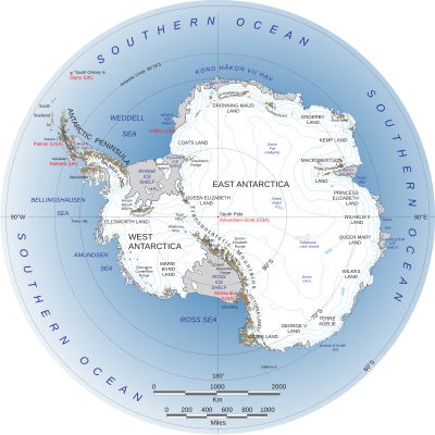
0º is Up
Having north at the top is a good convention because you can pick up a map and instantly understand what you are looking at. However when looking at a map of Antarctica north at the top doesn't work so well. Usually Antarctic maps are polar projection (azimuthal equidistant projection) with 0º longitude being at the top. In this case the South Pole is in the middle of the map.
No comments:
Post a Comment